In a report published on November 15, 2026, a hiker described their first visit to the summit of Mount Daitō in the Futakuchi mountains of Miyagi Prefecture’s Akiu area. They climbed the Ura route and descended the Omote route, recording 12.6 km, 1,203 m of ascent and descent, and 8 hours 2 minutes in total, including 1 hour 59 minutes of breaks.
Earlier reports had mentioned snow, frost-covered trees and strong winds, so the hiker brought traction spikes and cold-weather gear. They said they did not need the spikes and found autumn leaves still on the lower slopes. The Ura route passed Shirataki and Amataki waterfalls, with views toward Banji. Shirataki required a short detour from the route.
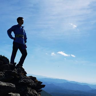
The hiker reported narrow traverses and uncleared vegetation before Hinosawa shelter. Beyond the shelter, the climb steepened toward the section called Yakichi-korobashi. Views opened up near the Futakuchi mountain viewpoint, but uncut bamboo grass made the approach to the summit difficult. From the top, the hiker reported views to the northeast through northwest and some remaining snow, which they thought may have fallen overnight.
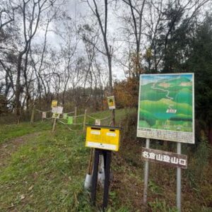
On the descent, the Omote route had been cleared and was easier to walk, though the hiker warned that cut bamboo-grass stems could be slippery underfoot. They parked near the Mount Daitō trailhead by Futakuchi Onsen. They also noted toilets beside the Akiu Visitor Center and at the Akiu Ōtaki parking area, but had not checked whether the visitor-center toilets were available early in the morning.