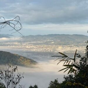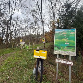
A hiking log published on November 18, 2026, describes a November 16 walk on Mount Daimyokura, a low mountain in Ōtama, Fukushima Prefecture. The hiker reported a clear view of Mount Adatara from the summit and said the route had no sustained steep climbs.
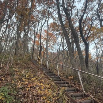
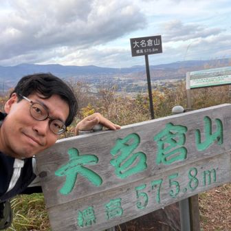
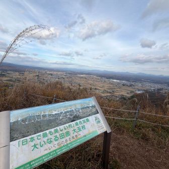
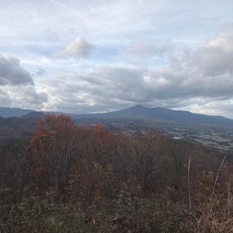
The recorded walk covered 8.3 km in 1 hour 53 minutes, including 6 minutes of rest, with 425 m of ascent and 423 m of descent. The route listing also gave a standard time of 3 hours 37 minutes. Those figures describe this outing, not a guaranteed time for other hikers.
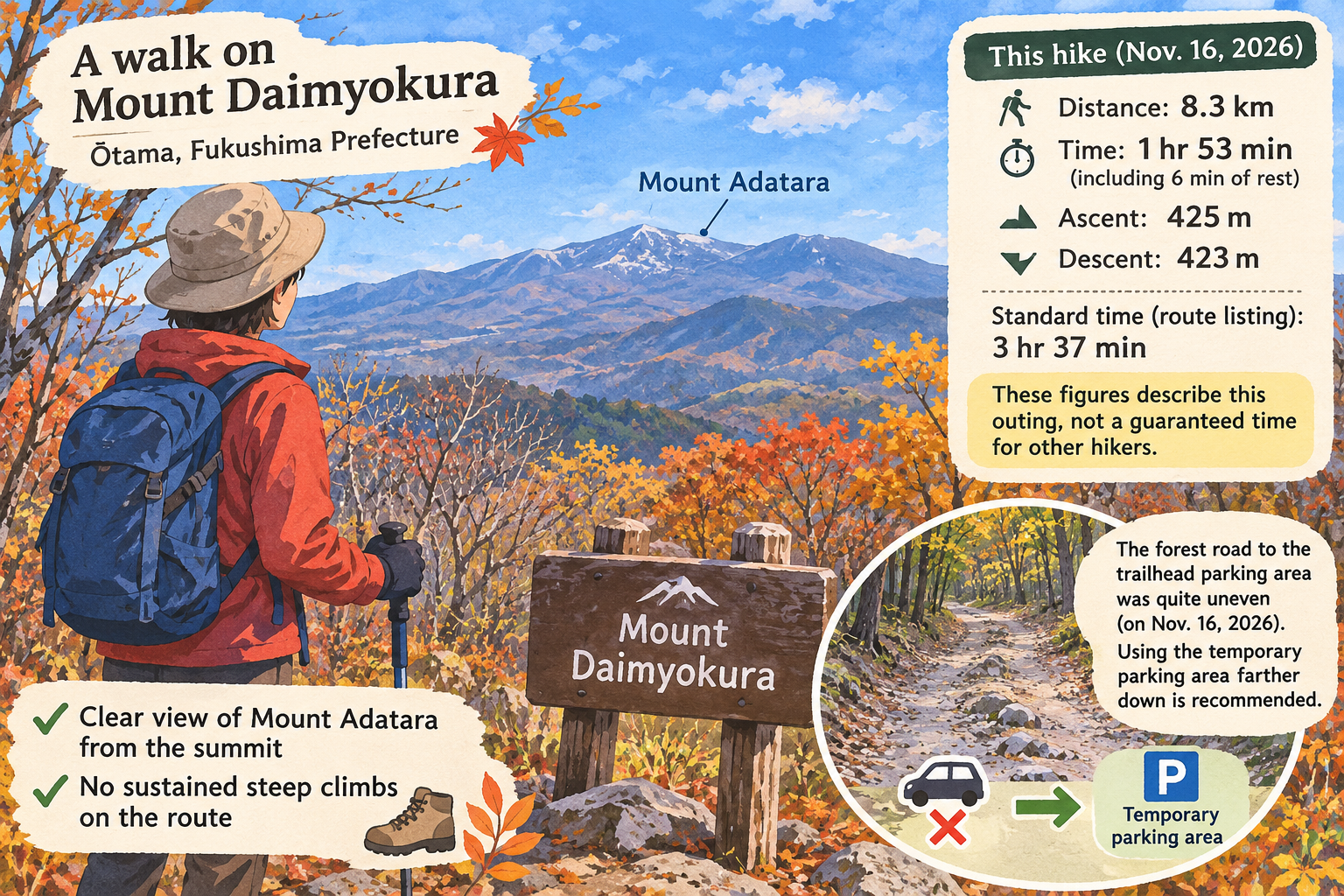


For drivers, the hiker noted that the forest road to the trailhead parking area was quite uneven and recommended using the temporary parking area farther down instead. That is a first-hand observation from November 2026, not a current road-condition update.