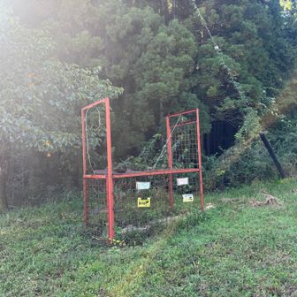
A YAMAP activity log, “大杉山・四ツ山・三ツ山・二ツ山・金山(一ツ山)・蘇武岳-Sobudake,” records a first solo hike. The feed timestamp is 7:30 a.m. UTC+8 on 11 November 2026. The diary gives clock times but no separate date for the hike.
The summary lists 5 hours 49 minutes, 11.3 km, 987 m of ascent and 971 m of descent. The day-1 line repeats those figures and lists 57 minutes of rest. The course constant is 24, graded ふつう (ordinary), calculated from a standard time of 6 hours 17 minutes. The log says a climbing plan was filed, names the map Sobudake, and includes a GPX-data label. No numeric average pace is given.
Checkpoints run from 09:22 to 15:11, matching the stated total of 5 hours 49 minutes. In the source text, clock times are often printed without spaces. Pairs below are split only where they form clear HH:MM times. Extra digits are left as unlabeled figures; the log does not identify them as elevation, pace or distance.
| Place | Clock times | Unlabeled figures |
|---|---|---|
| Sobudake trailhead parking (蘇武岳登山駐車場) | 09:22, 09:28, 09:29 | 6, 14 |
| Sobudake / Osugiyama Manba trailhead (蘇武岳・大杉山 万場登山口) | 09:43, 09:45 | 119 |
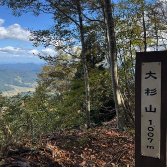
| Osugiyama (大杉山) | 11:04, 11:34 | — |
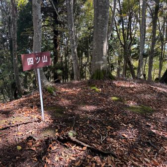
| Yotsuyama (四ツ山) | 11:34, 11:37 | — |
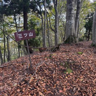
| Mitsuyama (三ツ山) | 11:37, 11:44 | 2 |
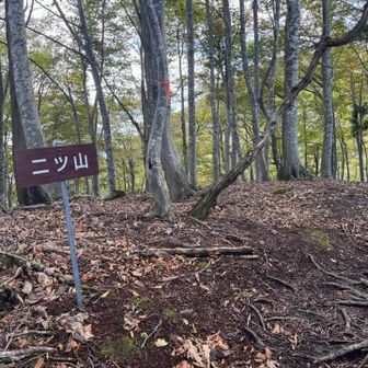
| Futatsuyama (二ツ山) | 11:46, 11:51 | 3 |
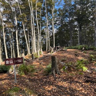
| Kanayama (Hitotsuyama) (金山(一ツ山)) | 11:54, 12:00 | 28 |
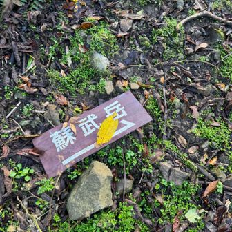
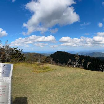
| Sobudake (蘇武岳) | 12:28, 12:56 | 53 |
| Sobudake trailhead (蘇武岳登山口) | 13:49, 13:52 | 52 |
| Sobudake / Osugiyama Manba trailhead | 14:44, 14:45 | 10 |
| Sobudake trailhead parking | 14:55, 14:56 | 14 |
| Parking (駐車場) | 15:10, 15:11 | — |
| Michinoeki Kannabe Kogen (道の駅 神鍋高原) | 15:11 | — |
| Parking (駐車場) | 15:11 | — |
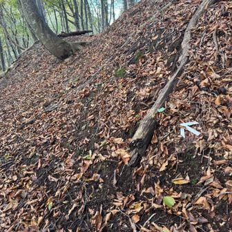
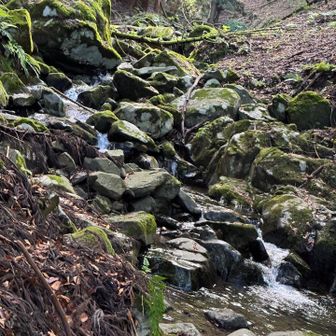
The hiker wrote that this was their first time climbing alone. They reached the Sobudake summit without any particular trouble, going from Osugiyama through peaks 4, 3, 2 and 1 with repeated ups and downs. On the descent from the junction, the slope was extremely steep: they described clinging to the support rope while tumbling down the slope. They thought that, physically, going alone might be about as far as this distance.
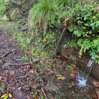
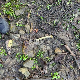
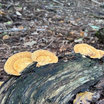
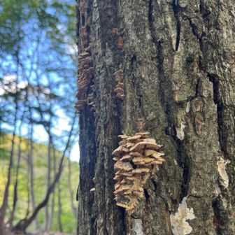
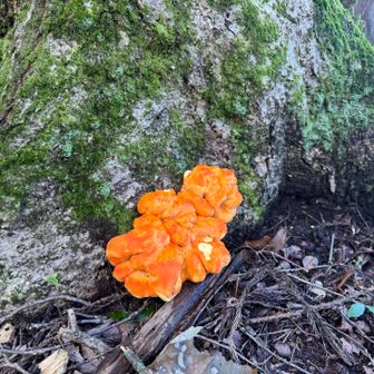
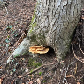
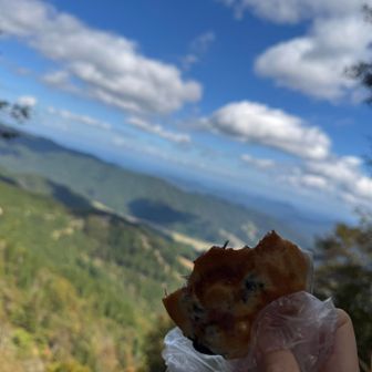
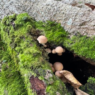
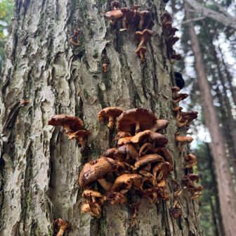
Captions written in the log, quoted here as text only, are: “looks like a trap for wild boar and bears” (猪、熊用のワナっぽい); “human bones…? maybe I should head back” (人骨…?帰ろうかな); mushroom notes written as きのこ, のこのこ and のこ; “anpan at the summit” (山頂であんぱん); and “the view is good” (見晴らしいい). The trap and bone lines are the hiker’s uncertain wording, not confirmed findings.
This is one person’s activity log, not a route guide. It describes an extremely steep descent and a first solo outing the hiker felt was near their limit for distance.