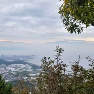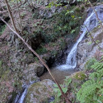
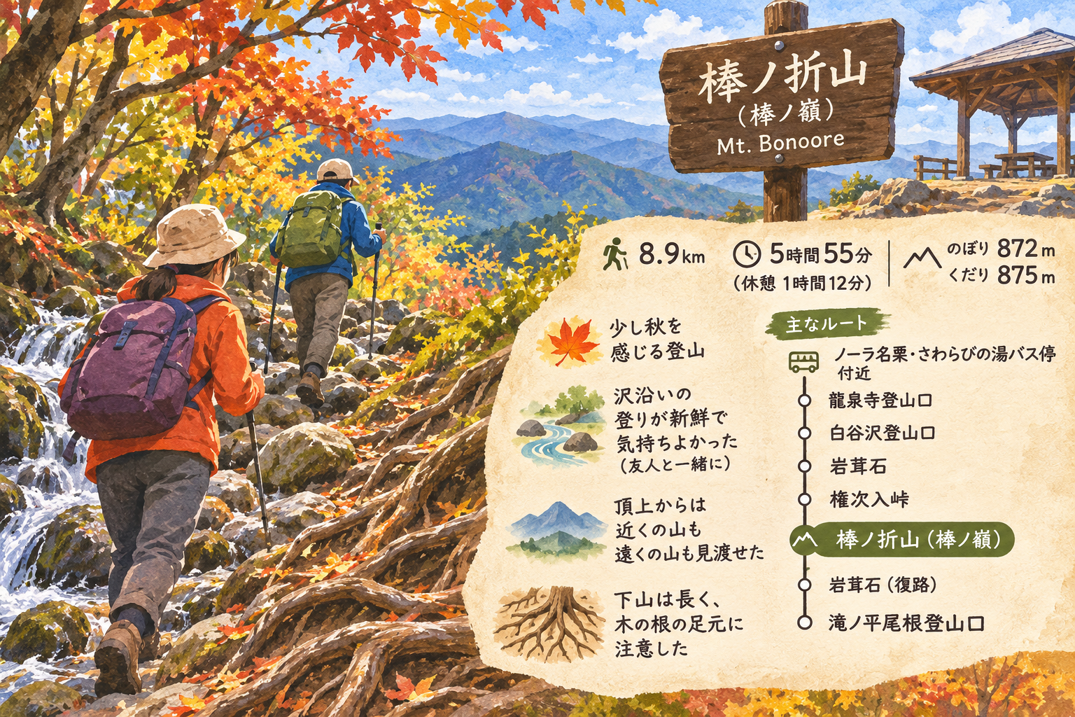
Originally posted on November 12, 2026, this YAMAP hiking log describes an outing on Mt. Bonoore, also called Bō-no-ore-yama. The recorded route covered 8.9 km in 5 hours 55 minutes, including 1 hour 12 minutes of rest, with 872 m of ascent and 875 m of descent. The log does not specify the hike’s date.
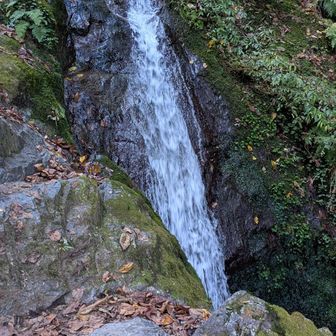
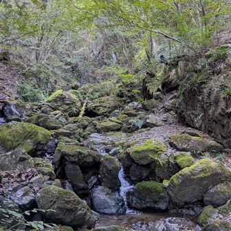
The recorded route began near the Nora Naguri–Sawarabi-no-yu bus stop, passed the Ryūsenji and Shirayasawa trailheads, then continued via Iwatakeishi and Gonjiiri Pass to the summit. The return passed Iwatakeishi and ended at the Takinodaira Ridge trailhead.
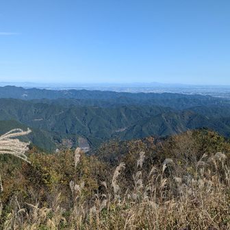
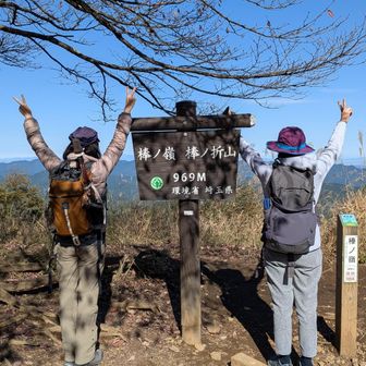
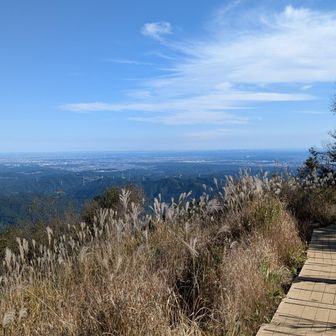
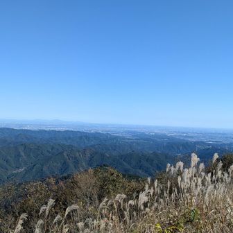
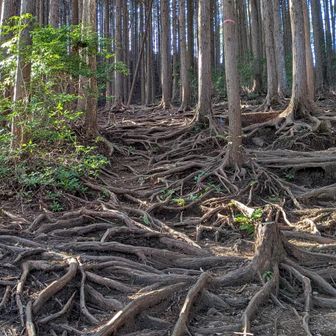
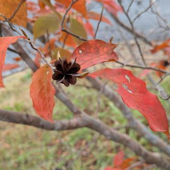
The hiker wrote that the outing brought a hint of autumn and that climbing alongside the stream with a friend felt refreshing. From the summit, they could see both nearby and more distant mountains. They also described the descent as long and said the exposed tree roots required attention underfoot.
Source: yamap.com (originally published 2026-11-12 07:53 UTC+8)