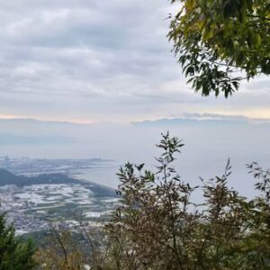
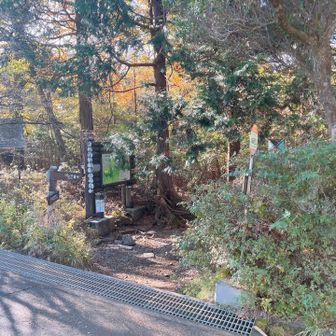
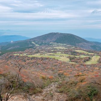
In a hiking log published on November 16, 2026, a hiker described a counterclockwise loop from the Amagi Kōgen hikers’ parking area via Mount Banzaburō and Mount Banjirō. The recorded route covered 8.0 km in 3 hours 27 minutes, including 30 minutes of rest, with 663 m of ascent and 665 m of descent.
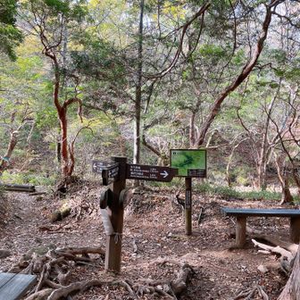
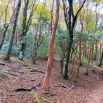
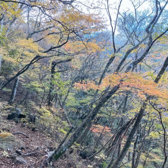
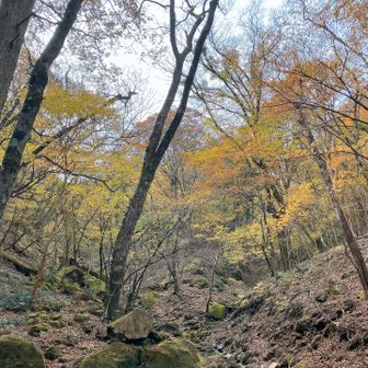
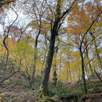
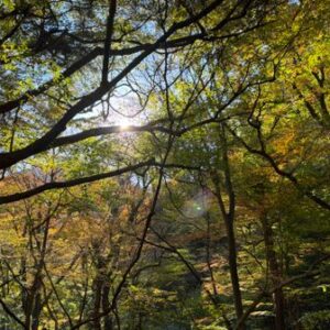
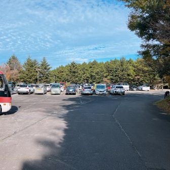
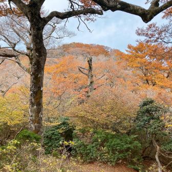
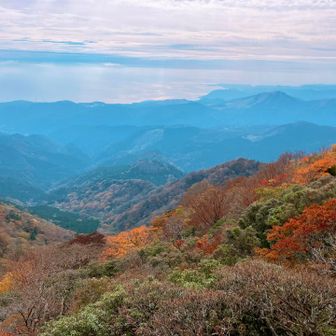
The hiker said the parking area was almost full when they arrived around 9 a.m. They reported that leaves had already fallen near the summit, while beech forest at lower elevations still showed autumn color. They also noted the reddish-brown bark and changing leaves of himeshara trees.
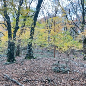
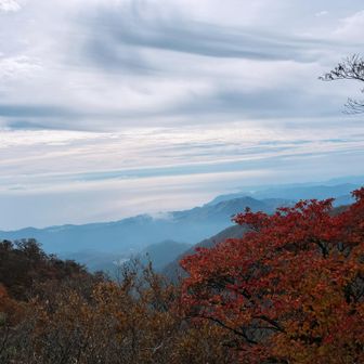
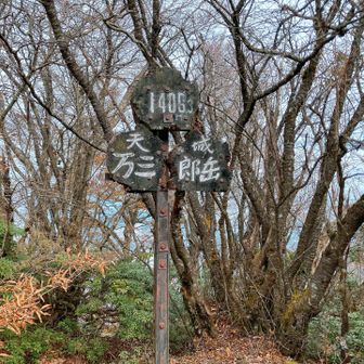
The log records a 9:28 a.m. start and a 12:55 p.m. return. The hiker described the trail as unrepaired and difficult to walk in places, though they enjoyed the outing.