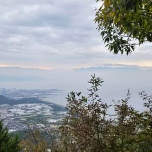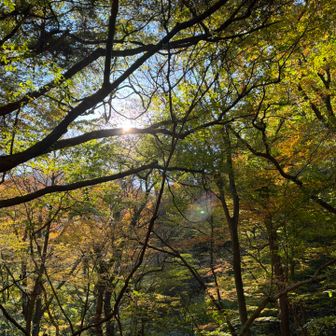
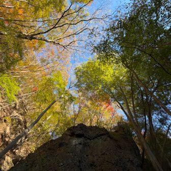
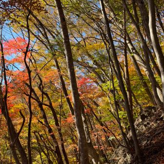
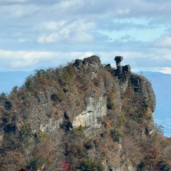
A YAMAP activity log published on 16 November 2026 describes a climb to the top of Chōsu-no-Kashira in the Uramyōgi area, followed by a loop descent. The hiker reported colorful autumn foliage among the broadleaf trees. The log does not specify the hike’s date.
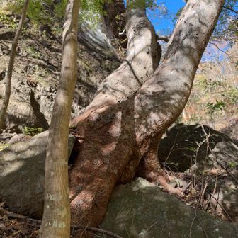
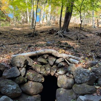
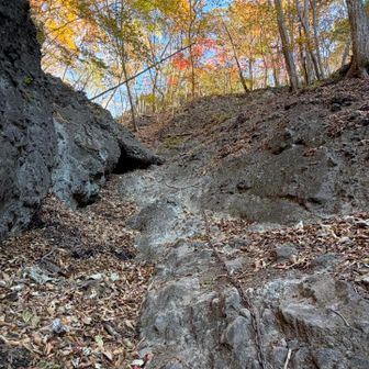
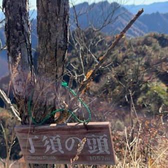
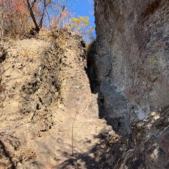
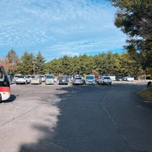
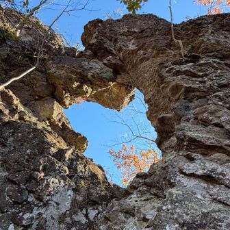
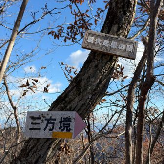
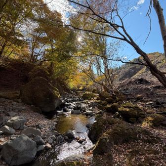
The recorded route started and ended at the former Kokumin Shukusha Uramyōgi parking area. Its checkpoints include the Chōsu-no-Kashira trailhead and summit, a viewpoint, Eboshi Rock, Kazeana Ridge, Sanpōkyō, Momiji Valley and Batō Kannon.
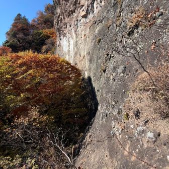
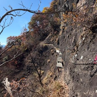
The log records 7.4 km, 851 m of ascent and descent, and 5 hours 36 minutes from 7:20 a.m. to 12:56 p.m., including 1 hour 28 minutes of breaks. These are the figures for this outing, not an estimate of how long the route will take others.