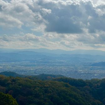
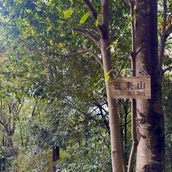
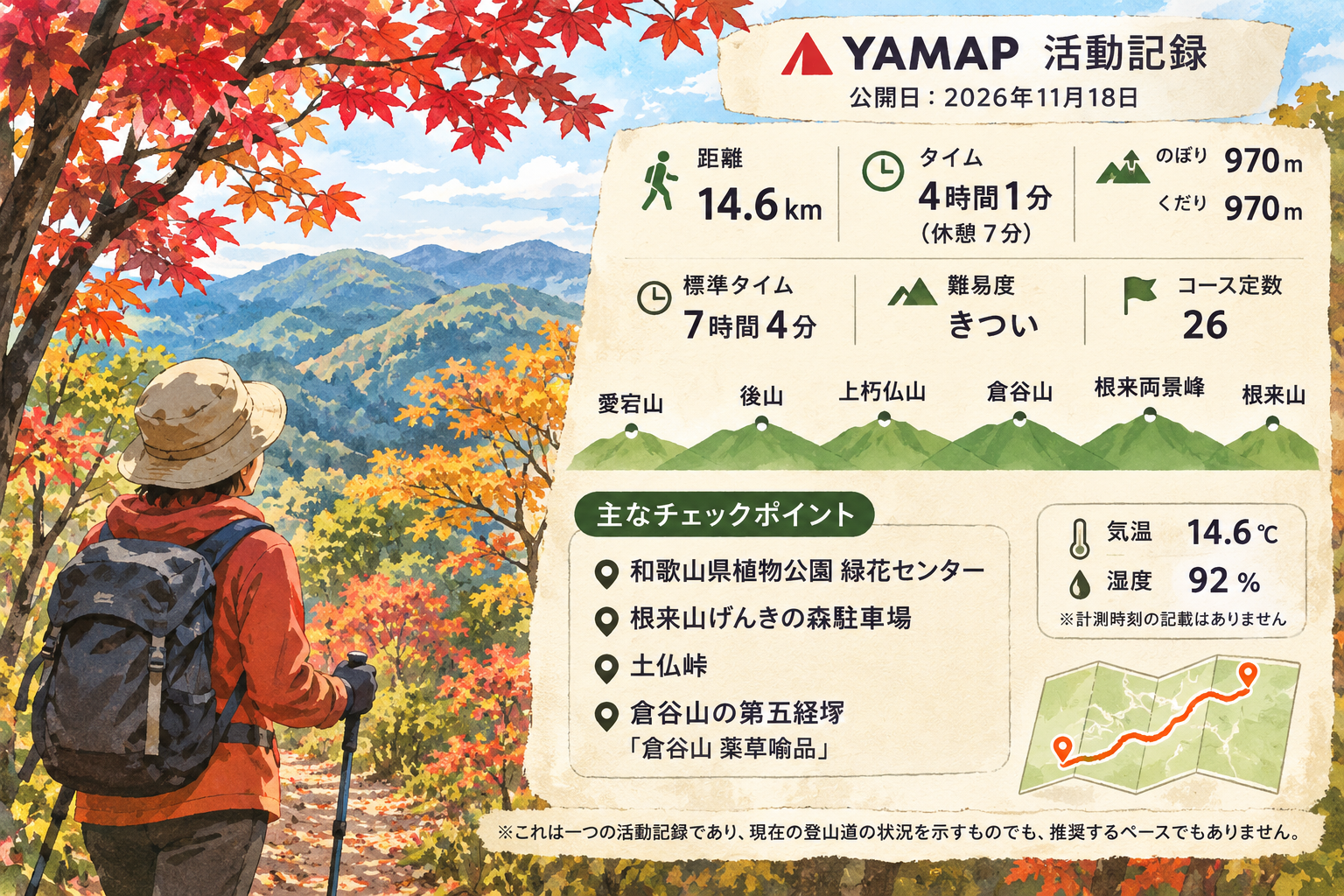
A YAMAP activity record published on November 18, 2026, logs a hike through Atagoyama, Ushiroyama, Kami-kuchibotoke-yama, Kuratani-yama, Negoro Ryōkeihō and Negoroyama. The record does not state the date of the hike.
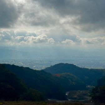
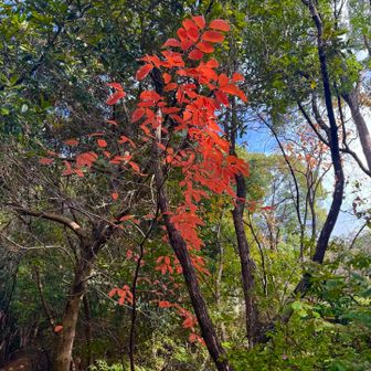
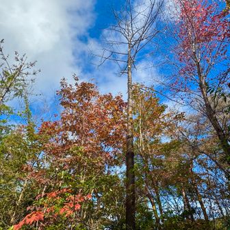
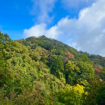
The logged route covered 14.6 km in 4 hours 1 minute, with 970 m of ascent and 970 m of descent. It records seven minutes of rest. YAMAP lists a standard time of 7 hours 4 minutes for the course and rates its difficulty as “hard,” with a course score of 26.
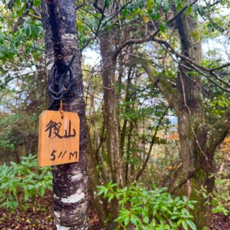
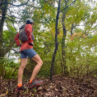
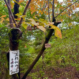
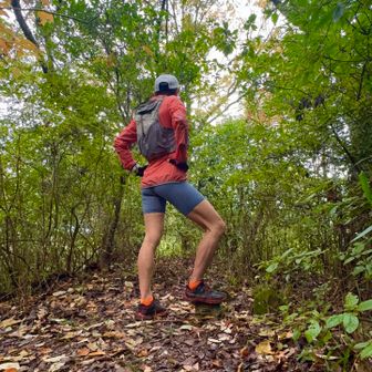
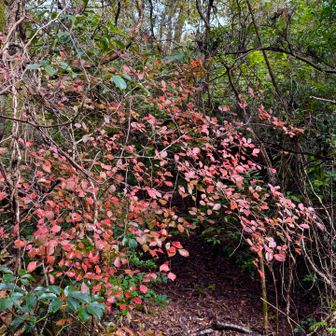
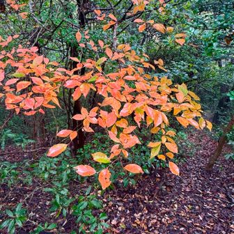
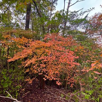
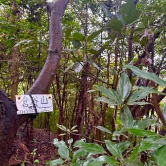
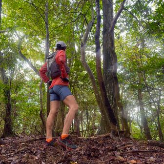
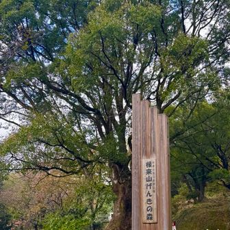
Checkpoints include the Wakayama Prefectural Botanical Park Ryokka Center, the Negoroyama Genki no Mori parking area, Tsuchibotoke Pass and the fifth kyōzuka at Kuratani-yama. The activity details list a temperature of 14.6°C and humidity of 92%, but do not specify when those readings were taken.
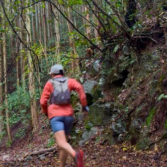
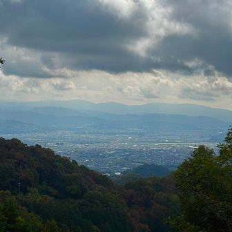
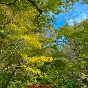
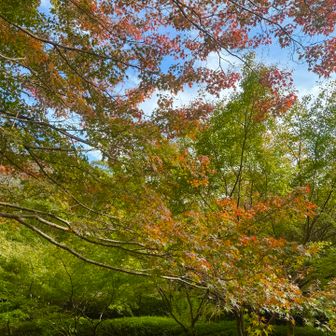
This is one recorded outing, not a current trail-conditions report or a recommended pace.