BlockWave

A runner’s short route from Hime Station to Mount Atago

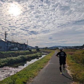
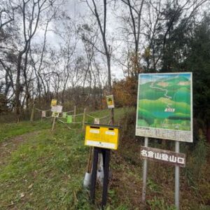
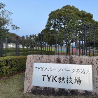
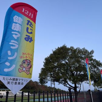
In an activity log published November 14, 2026, a runner described meeting a friend near Hime Station in Tajimi after running half of the Tajimi Health Marathon course. The friend suggested a run up Mount Atago. According to the runner, the route was mostly paved, with only a short cross-country section, and their usual road-running shoes were suitable for this outing.
A runner’s short route from Hime Station to Mount Atago (1)
A runner’s short route from Hime Station to Mount Atago (2)
A runner’s short route from Hime Station to Mount Atago (3)
A runner’s short route from Hime Station to Mount Atago (4)
A runner’s short route from Hime Station to Mount Atago (5)
A runner’s short route from Hime Station to Mount Atago (6)

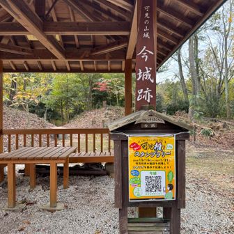
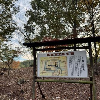
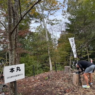
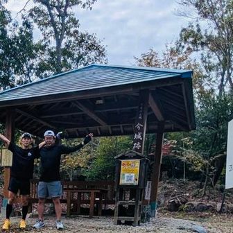
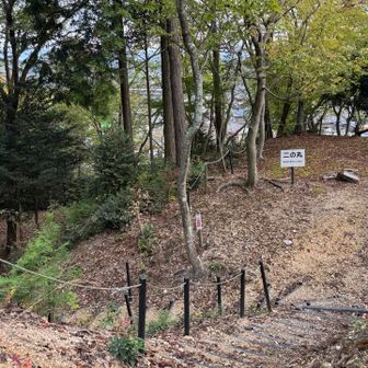
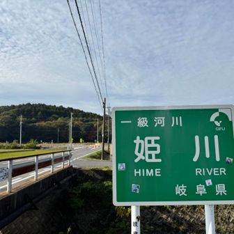
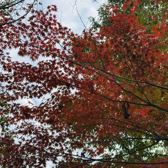
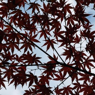
The logged route covered 5.7 km in 41 minutes, including 8 minutes of rest, with 86 m of ascent and 119 m of descent. Photos from the outing show autumn foliage and the remains of Ima Castle, including its former main enclosure. The runners returned along the Hime River.
A runner’s short route from Hime Station to Mount Atago (7)
A runner’s short route from Hime Station to Mount Atago (8)
A runner’s short route from Hime Station to Mount Atago (9)
A runner’s short route from Hime Station to Mount Atago (10)
A runner’s short route from Hime Station to Mount Atago (11)
A runner’s short route from Hime Station to Mount Atago (12)

This is a personal account of one run, not a general assessment of trail conditions or footwear needs.
Further reading