An activity report published on November 15, 2026, describes a walk around the Ōgama area after a meal at curry shop Marupaso. The writer said it was their first visit to the shop in about 35 years and described its curry as reminiscent of home-style curry rice rather than today’s very spicy curries.
The recorded walk covered 7.4 km in 2 hours 16 minutes, including four minutes of rest, with 332 m of ascent and 332 m of descent. The route took in three summits: Sangō-no-mori, Hachimandateyama and Karasudomariyama.
The writer’s notes matter for anyone considering the recorded track. Sangō-no-mori’s high point was in a rice field, which the writer reached by walking along a field boundary; the account does not establish public access. At Hachimandateyama, the writer reported a view across the Ōgama area toward Mount Hayachine from beneath a transmission tower.
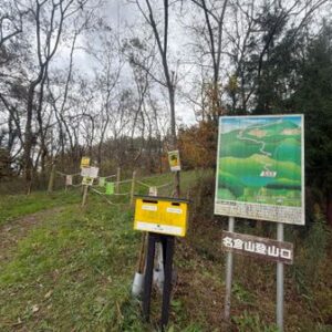
Between Hachimandateyama and Karasudomariyama, the writer encountered paths that appeared to be used for power-line maintenance. They said their outward route climbed a ridge directly and might not have been an established trail. The longer return route, which had steps, was easier to walk. The account also describes a short off-route section used to join the path to Hachimandateyama. These details make the recorded track a personal account, not a confirmed public walking route.
Fallen leaves improved visibility during the writer’s walk, but they still used a bear whistle. They reported no viewpoint on the Karasudomariyama section.