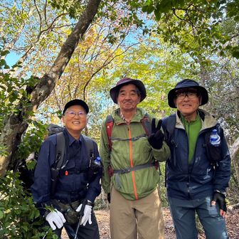
In an activity log published on 12 November 2026, a hiker described a group traverse from Hozukyō Station to the Togetsukyō Bridge area of Arashiyama, Kyoto. The log does not specify the date of the hike.
The recorded route covered 8.3 km, with 669 m of ascent and 707 m of descent. Total elapsed time was 5 hours 44 minutes, including 1 hour 44 minutes of breaks.
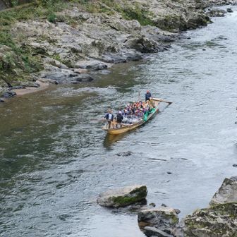
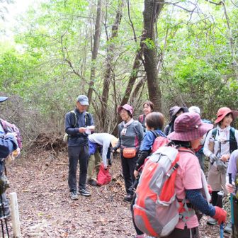
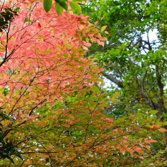
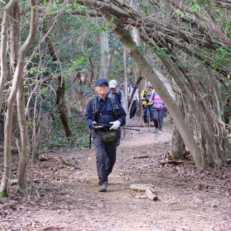
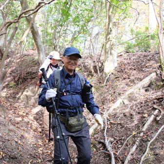
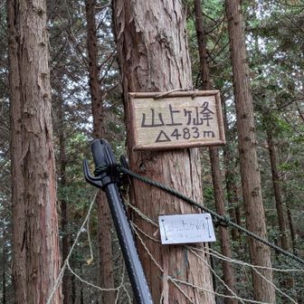
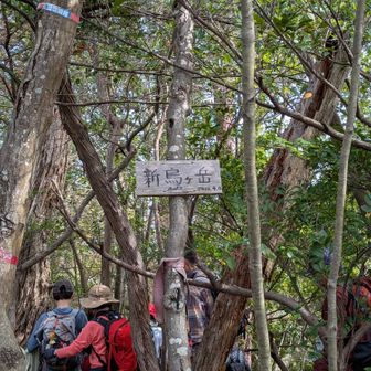
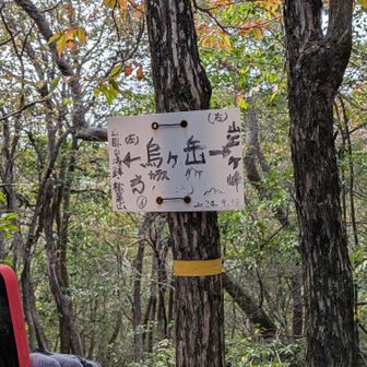
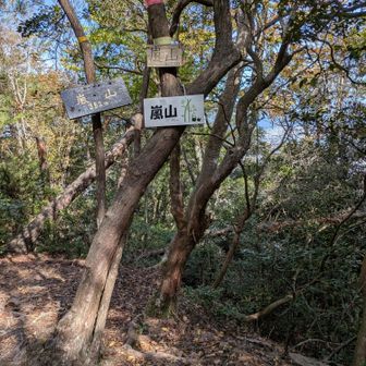
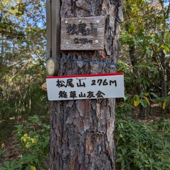
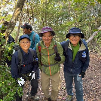
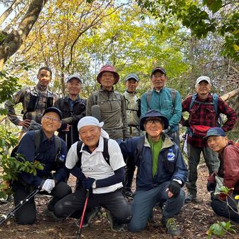
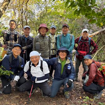
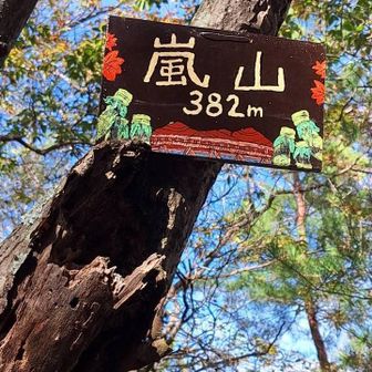
From Torokko Hozukyō Station, the group followed a narrow riverside path to the mountain trail. The hiker described the climb toward Yamagamine (山上ヶ峰) as steep and credited the trip leader’s slow pace with helping the group complete it. The route then continued over Shin-Karasu-ga-take, Karasu-ga-take, Mount Arashiyama and Matsuo-yama before descending toward Togetsukyō Bridge.
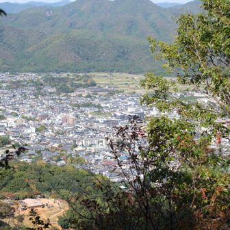
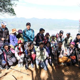
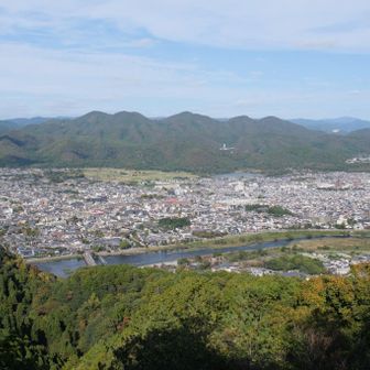
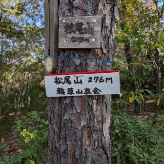
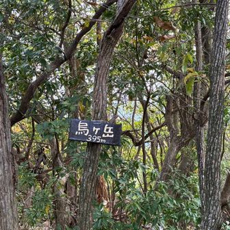
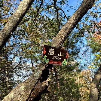
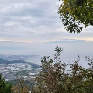
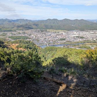
The log’s photos are captioned with autumn foliage, a Hozugawa riverboat and a view of Togetsukyō Bridge from the mountain. This is one group’s account of the route, not a statement of current trail conditions.
Source: yamap.com (originally published 2026-11-12 07:53 UTC+8)