A YAMAP activity entry dated 12 November 2026 is titled “裏妙義(丁須の頭〜谷急山〜もみじ谷)-Myogisan, Tengudake, Somadake” (Ura-Myogi: Chosu-no-atama–Tanikyu-yama–Momiji Valley). The route names in that title are reported as given; the narrative below does not say every named point was reached.
The log lists a total time of 8 hours 54 minutes, a distance of 9.4 km, 1,172 m of ascent and 1,170 m of descent. Rest time is 2 hours 15 minutes. It shows a “tough” rating (きつい) calculated from a standard time of 6 hours 36 minutes, and notes that a climbing plan was filed and that GPX data is available. Checkpoint times in the entry run from 07:01 to 15:56. Intermediate times are jammed together in the source text, so they are not broken out here.
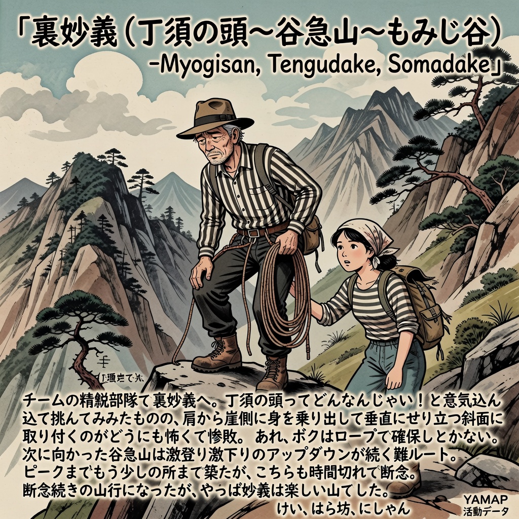
The writer says the group went to Ura-Myogi with the team’s elite unit. They set out eager to see what Chosu-no-atama was like, but leaning out from the ridge toward the cliff and getting onto the near-vertical slope was too frightening, and the attempt ended in what the writer calls a complete defeat. The writer states that a rope belay would be required. Tanikyu-yama is described as a hard route of repeated steep climbs and descents. The group got close to the peak but ran out of time and turned back there as well. The writer says the day became a series of turnbacks, but that Myogi was still an enjoyable mountain.
Members listed: けい, はら坊 and にしやん. The entry does not say which of them wrote the report.
Original activity: https://yamap.com/activities/52618182