A YAMAP activity log published on November 16, 2026, records a two-day mountain route from the Senjōjiki Ropeway Station area. The log does not specify when the hike took place.
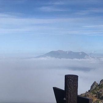
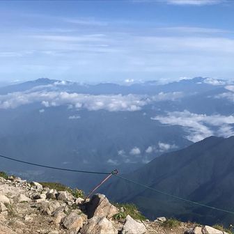
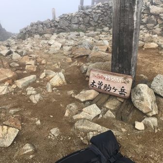
On day one, the recorded route passed Hōken Sansō and Naka-dake before reaching the Chōjō Sansō area. On day two, it went to the summit of Kiso-Komagatake, returned through Naka-dake and Hōken Sansō, then passed Hōken-dake before ending at Senjōjiki Ropeway Station.
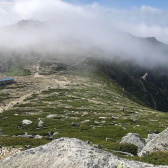
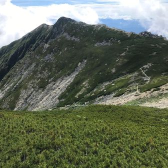
The log reports 4.6 km over 5 hours 19 minutes, with 519 m of ascent and 518 m of descent. Its daily breakdown lists 1.6 km on day one and 2.9 km on day two. Those rounded daily distances do not add up exactly to the reported total.
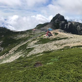
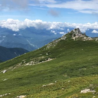
The route is a record of one activity, not a statement of current trail or weather conditions.