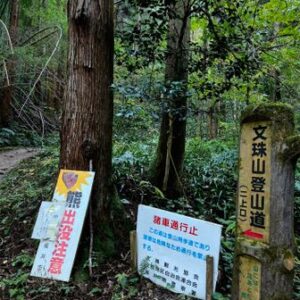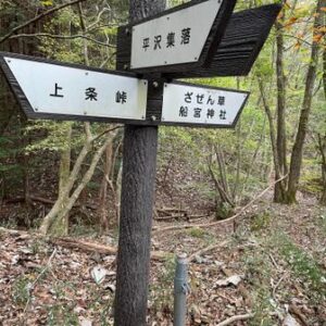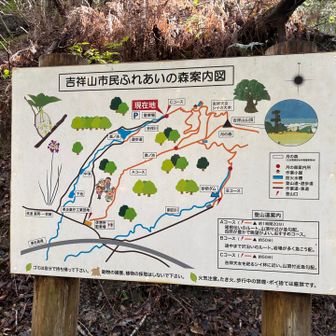
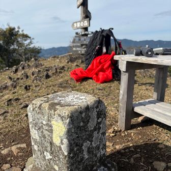
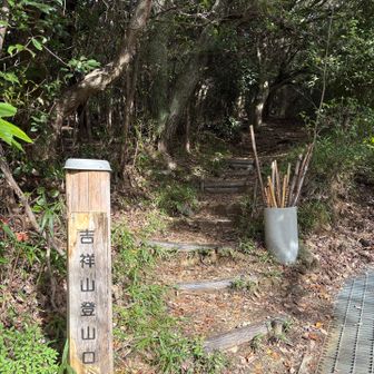
In a YAMAP activity report published on November 17, 2026, a walker described taking the C course up 吉祥山 (Kichijō Mountain) and the A course down. The C course began with a stretch of paved road and a gentle trail before a steep climb to the summit. The walker described the A-course descent along the ridge as gentler.
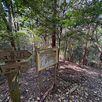
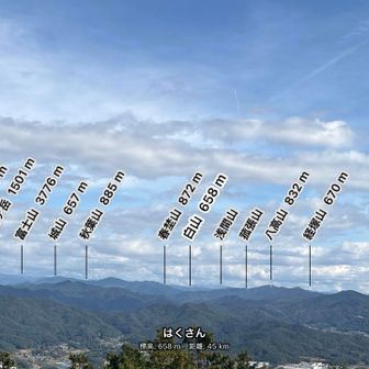
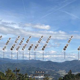
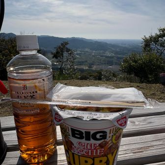
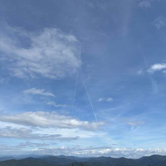
The recorded walk covered 4.6 km in 2 hours 38 minutes, including 40 minutes of breaks, with 351 m of ascent and 350 m of descent. The report lists a standard course time of 2 hours 10 minutes. Its title expresses anticipation of a summit panorama, but the written account does not describe the view.