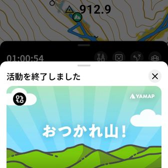
A hiker’s account published on November 14, 2026 describes a short walk up Yomineyama in the Aso area. The recorded route covered 2.8 km in one hour, with 238 m of ascent and 240 m of descent. Those figures describe this outing, not a guaranteed time for other hikers.
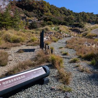
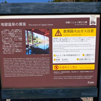
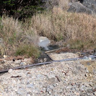
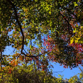
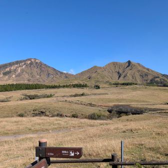
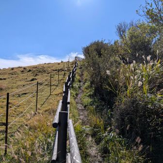
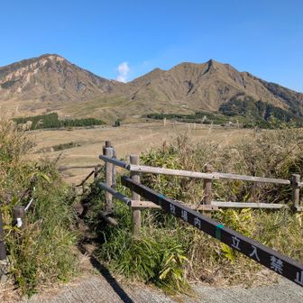
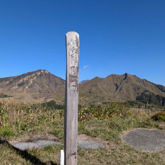
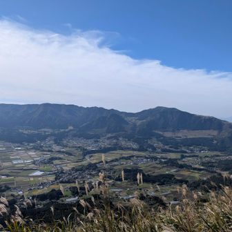
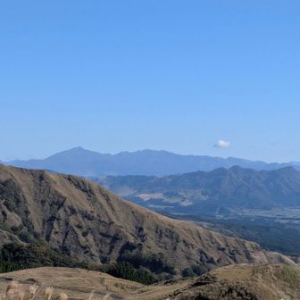
The route began near Jigoku Onsen. The hiker reported a strong sulfur smell at the trailhead, then walked beside grazing land to the summit. The pasture itself was marked as off-limits. From the top, the hiker described views across South Aso and toward Eboshidake, Okamadoyama and Sobosan.
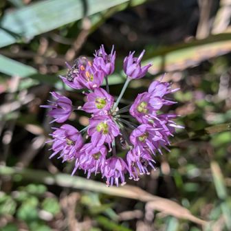
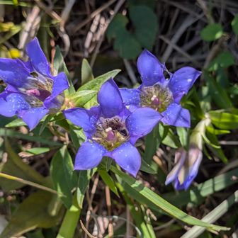
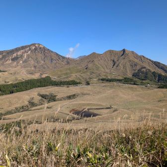
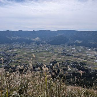
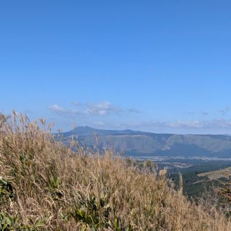
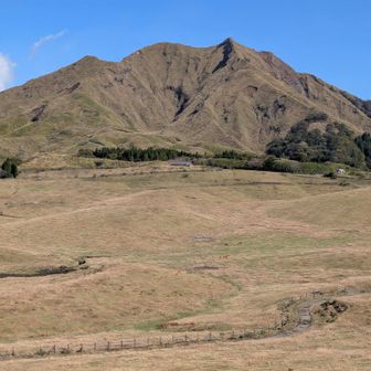
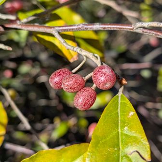
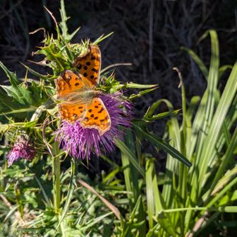
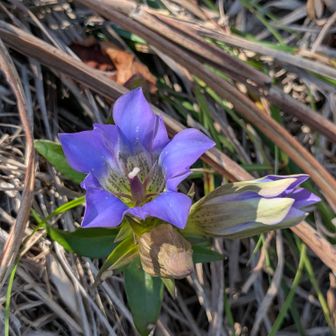
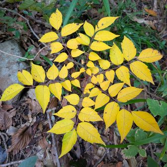
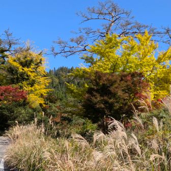
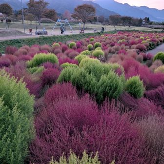
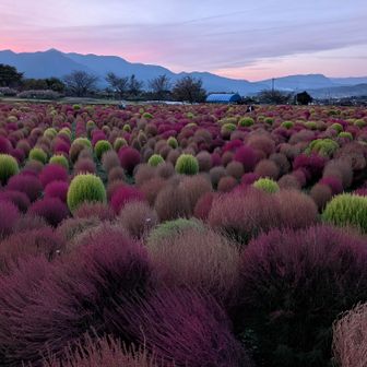
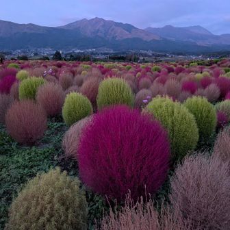
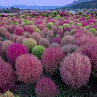
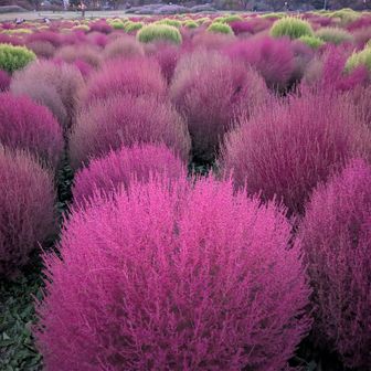
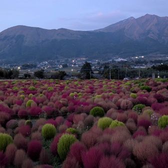
The account also noted autumn flowers and fewer grazing cattle than on previous visits, without establishing why there were fewer. After the hike, the writer stopped at Aso Bou no Sato roadside station to see its kochia. They felt the plants were already a little past their best and that the fading daylight made their colors less vivid.
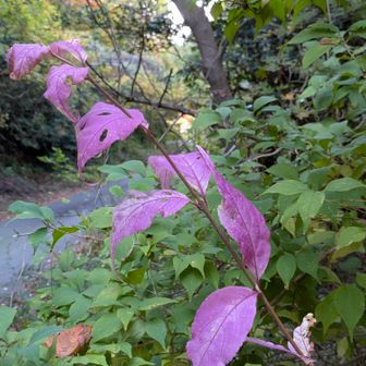
The hiker said reaching Yomineyama earned them the “Trolley” badge and completed their four-badge Aso digital badge collection. The report does not establish current trail access or seasonal conditions.