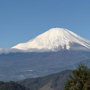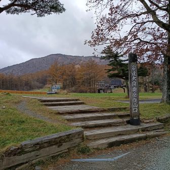
A YAMAP hiking log, listed as published on November 11, 2026, records a 13.2 km route in the Adatara mountain area of Japan. The recorded route started and finished near Adatara Kogen parking area and passed Yakushidake, Mount Adatara, Yahazumori, Tetsuzan and Kagoyama.
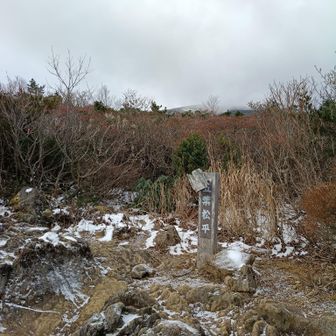
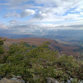
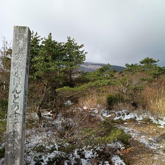
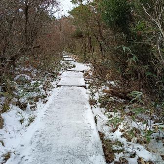
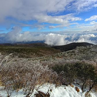
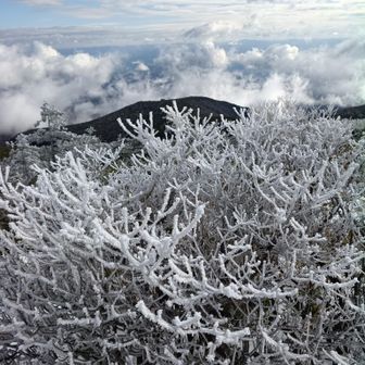
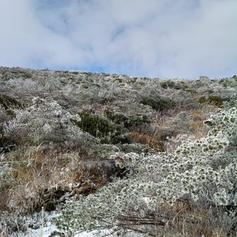
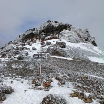
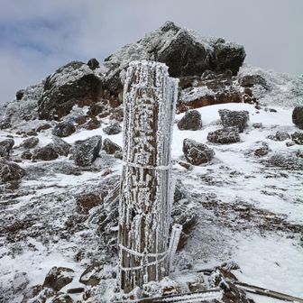
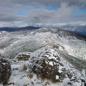
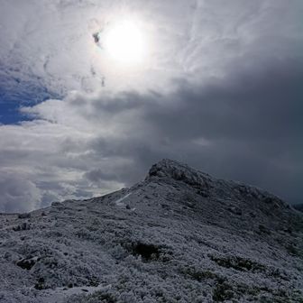
The log reports 4 hours 44 minutes for the activity, including 10 minutes of rest, with 965 m of ascent and 967 m of descent. Its checkpoint list runs from approximately 7:34 a.m. to 12:18 p.m. The hiker described strong winds, noted seeing other hikers despite it being a weekday, and said they took time to enjoy the hot spring afterward.
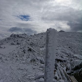
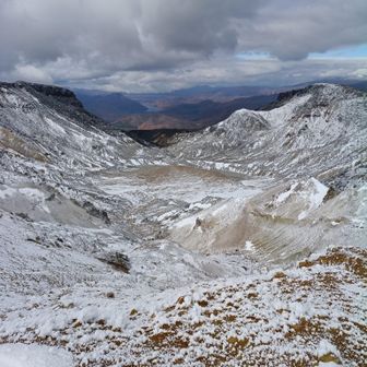
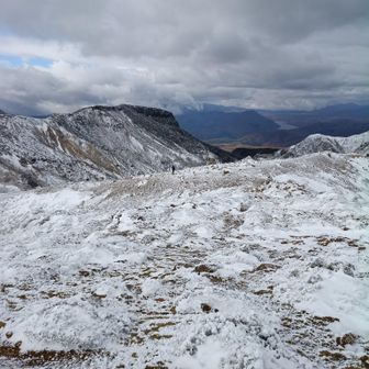
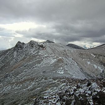
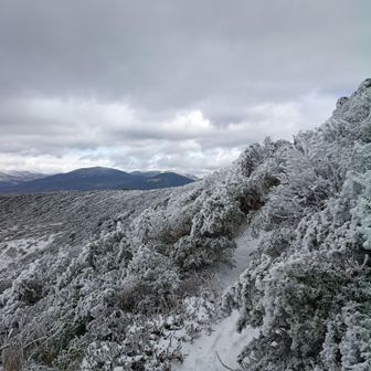
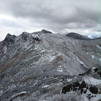
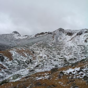
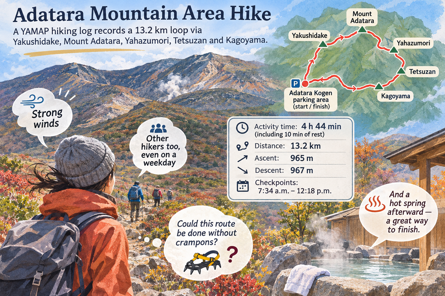
The hiker raised the question of whether the route could be done without crampons, but the log does not establish that crampons were unnecessary. It also does not state the hike’s date or provide enough detail to assess conditions for another visit.