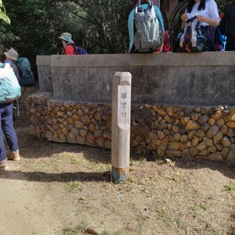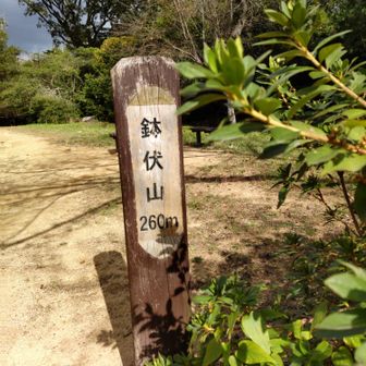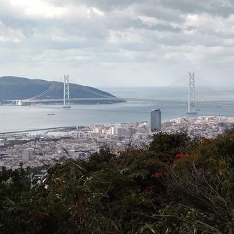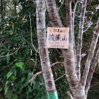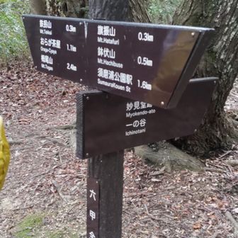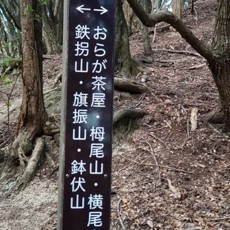
This activity log covers a hike linking Hachibuse-yama, Hataburi-yama, Tekkai-yama and Takakura-yama. The map area is listed as Rokko-san, Nagamine-yama and Maya-san. It is marked as a planned mountain hike and includes GPX data.
Recorded totals
- Total time: 3 hours 41 minutes
- Rest time: 1 hour 20 minutes
- Distance: 5.6 km
- Ascent: 383 m
- Descent: 319 m
The course figure is described as easy and is calculated from a standard time of 2 hours 36 minutes, with a rating of 10. An average pace is mentioned, but no pace figure is given.
Checkpoints
Times cluster first around the Sumaura Park Station bus stop, Sumaura Park Station, Sumaura Shop and Sumaura Park parking area from about 10:08 to 10:14, with the start logged at 10:14–10:18.
Later points include the Eastern Observation Deck (10:44–10:48), Hachibuse-yama Upper Station (10:48–10:52), Hachibuse-yama at 10:52, and the Sumaura Revolving Observation Tower (10:52–10:54), with a further note at Hachibuse-yama through 11:03.
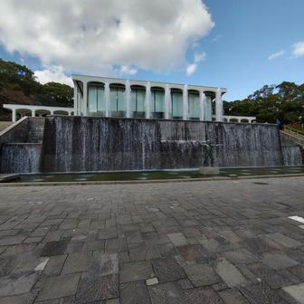
The log then records Hataburi-yama (11:06–11:16), Tekkai-yama (11:29–11:41) and Takakura-yama (11:51–12:39). After the peaks, entries return to the Takakuradai 5-chome bus stop and Takakuradai trailhead between 12:52 and 12:55. Rikyu Park is logged from 13:14 to 13:46, and the activity is noted through 13:50.
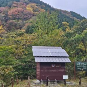
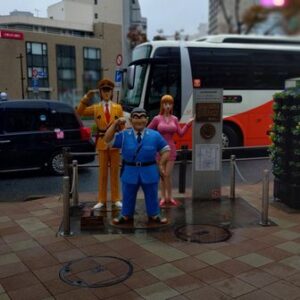
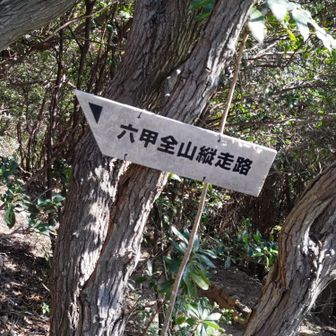
A calendar date for the hike is not stated in the activity text. Activity photos are part of the original log.
Original activity page: https://yamap.com/activities/52518441